Google has unveiled a powerful new system that uses artificial intelligence to help us understand and respond to changes happening on our planet. By bringing together Google Earth and the advanced Gemini AI, this technology can predict and monitor natural events—like floods, hurricanes, and harmful algae blooms—with speed and accuracy that was never possible before.
Seeing the Big Picture, Instantly
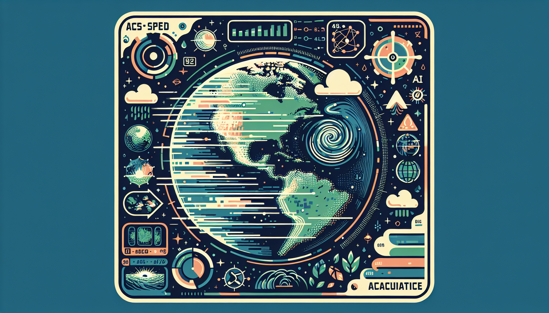
At the center of this breakthrough is something called Geospatial Reasoning. This is not just about looking at flat maps anymore. Instead, the system combines satellite images, weather forecasts, population details, and local infrastructure maps with intelligent AI. The result is an active tool that can help decision-makers see what is happening across an entire region, right now.
Imagine there’s a hurricane approaching. In just minutes, Google’s system can do all of the following:
- Forecast where the storm will go
- Find out which communities might be most affected, based on real data about people and their neighborhoods
- Map critical sites like hospitals, power stations, and roads
- Advise on where help and supplies should go first
Users can ask “what if” questions, such as what happens if a storm changes direction, and the system will quickly deliver new answers, rather than just giving static maps or old information.
How Geospatial Reasoning Works
This AI-driven framework brings together different types of information and specialized models, all working together automatically. When someone asks a question, the system understands what is needed, plans out the analysis, and produces clear visualizations and answers in real time.
Another strength is how the AI can “fill in the blanks” by using its reasoning power. For example, even if detailed data is only available for large areas like counties, the system can predict impacts more precisely, estimating risks down to the level of individual ZIP codes or neighborhoods.
Detecting Patterns, Guiding Response
By integrating the Gemini AI models with Google Earth, the system can do more than just track storms. It can:
- Spot early warnings of sandstorms or smoke plumes
- Monitor reservoirs and drinking water supplies
- Assess wildfire risks and model their likely paths
- Estimate property damage to help speed up recovery efforts
These capabilities are already being used by governments, aid organizations, businesses, and researchers through Google Cloud and Google Earth Professional. Right now, it is available to select partners, with plans for wider access on the horizon.
Empowering Social Good
The impact of this technology goes beyond emergency response. Google’s AI tools support organizations focused on global welfare and climate resilience. For instance, the United Nations Global Pulse, GiveDirectly, and others use these systems to better target disaster aid, distribute resources more fairly, and improve public health strategies in communities all over the world.
Google is also helping fund projects that use artificial intelligence for important issues like climate adaptation and predicting the spread of diseases. By combining up-to-date satellite imagery with smart data analysis, these efforts are helping leaders take action faster and more effectively.
A New Chapter for Planetary Intelligence
Together, Google Earth AI and Gemini’s geospatial reasoning open a new era in understanding and caring for our planet. This technology turns satellite data and diverse information streams into practical, trustworthy insights—helping us face natural disasters, support communities, and protect the world’s most vulnerable places with clarity and speed.
Leave a Reply